Unfortunately I don't know of any online source for other Accessions, so if the homestead you are researching is not Acc 1970.313 skip to Step 7.
Unfortunately there are almost 500 files each containing a couple thousand pages for Acc 1970.313. The good news is Step 5 provided the information we need to narrow this down to the correct file, so you will only have to look through one of those files.
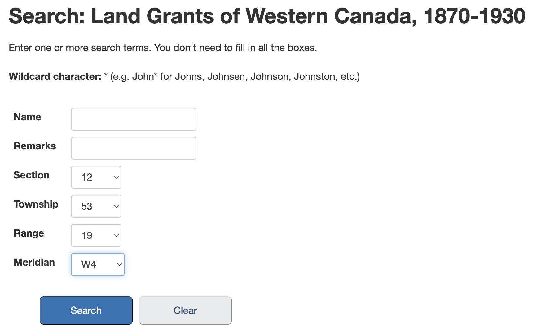
Open the search link below, locate the Search box at the top of the results, enter the Film number found in Step 5, and press enter.
Search Internet Archive
Example: For Jay we enter the File No. 2060 found in Step 5.
This should return one result, click on the title to open the document.
NOTE: Do not bother downloading the PDF of the entire document, unfortunately the quality is very poor compared to the method below.
Click on the fullscreen icon to go to full screen so things will be easier to read.
Now zoom in (magnifying glass with a +) until the pages are readable.
The good news is all documents related to each homestead should be on consecutive pages, and should begin with an image similar to this one.
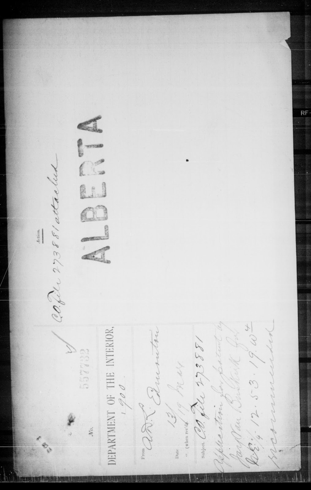
These images include the name and the file number. Hopefully the files are ordered by file number, if so you can use the file number to narrow down your search. If not there is an index at the end of the file that may help you narrow the search. If all else fails you can flip through all the pages until you find it.
Once you have found the file I recommend creating a bookmark of the first page in your web browser.
Example: Now we start looking for Jay's name or the File No 557732. Spoiler: Jay's records start on page 997 or so.
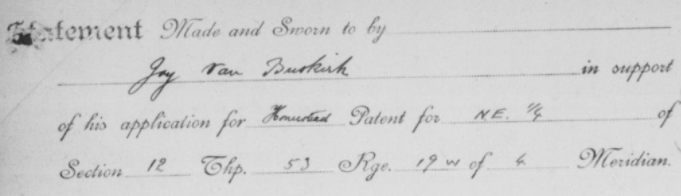
Here is a small clip of one of the many documents for this homestead.
If you would like to save a copy of the pages to your computer you will get a better image by doing the following:
- Zoom in A LOT, until the writing is very clear on your screen.
- Right click the first page you want and select "Save Image As..." Remember there are 2 pages shown in the default view, and you will need to save each of them (left and right) separately.
- Continue to use the navigation arrows to move to the next pages and save them as above until you have saved all the pages you need.
Notes:
Check all the downloaded images for quality as you go.
You may need to increase the zoom and try the download again if the details are not crisp.
You may have to zoom more than one click to increase the downloaded file quality. The file size should increase.
At some point you will likely find increasing zoom makes the file bigger, but does not really increase the quality.
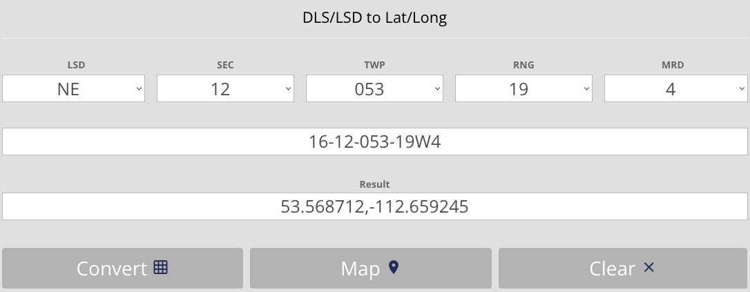
- Click here to open the converter at Bentek Systems.
Convert
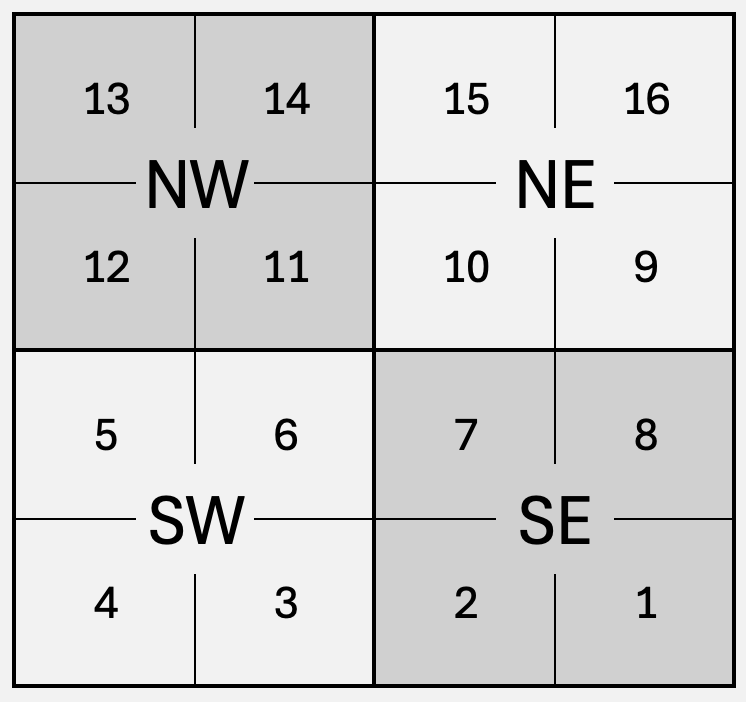
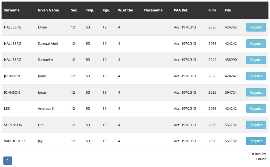
- Select the LSD (Part), SEC (Section), TWP (Township), RNG (Range), and MRD (Meridian) in the top row.
- Click Convert.
Note: This tool does not support E1/EPM meridian in eastern Manitoba.
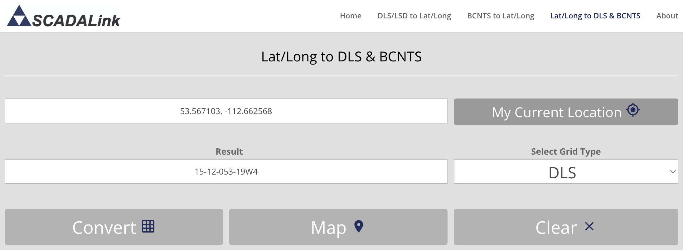
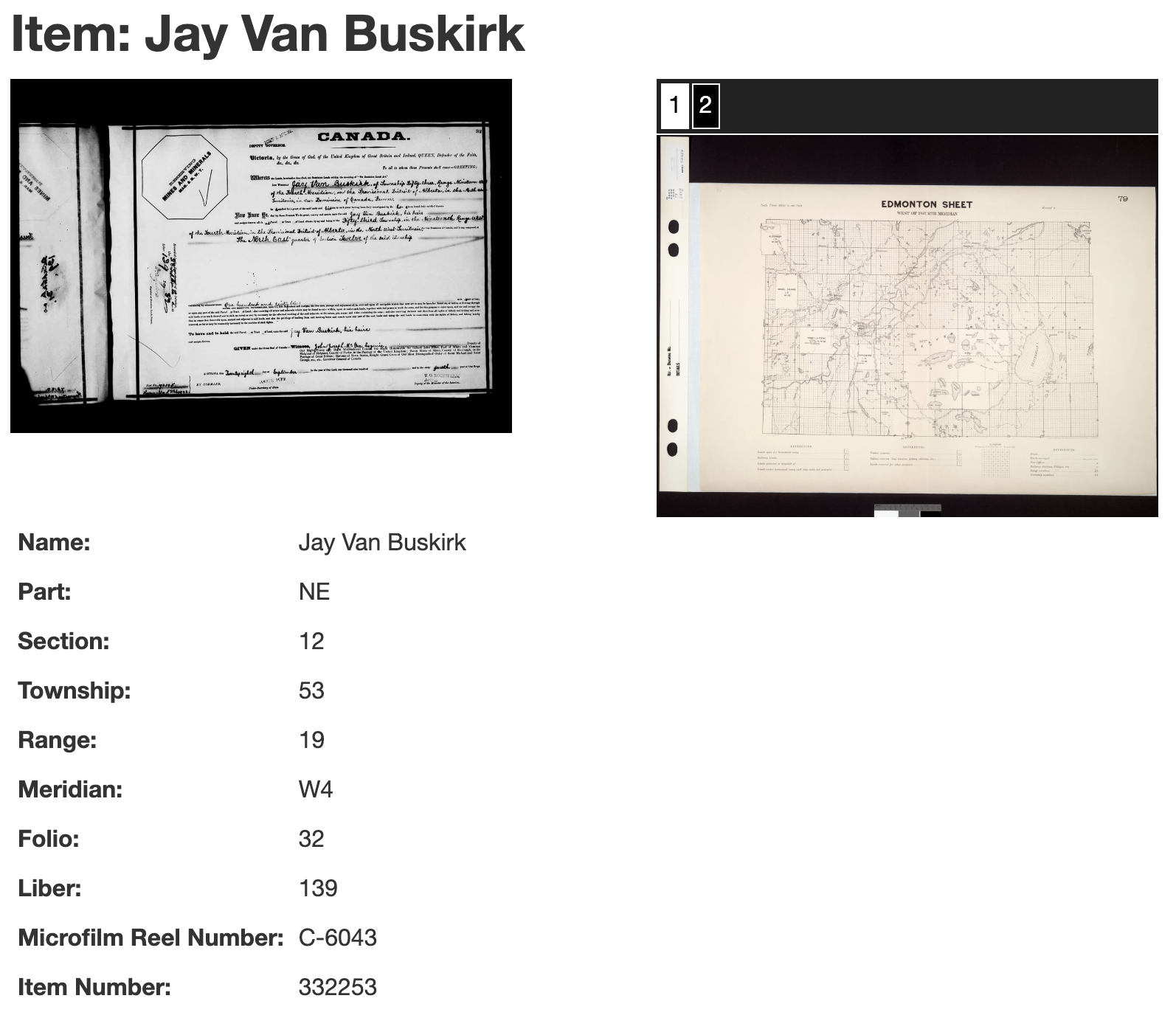
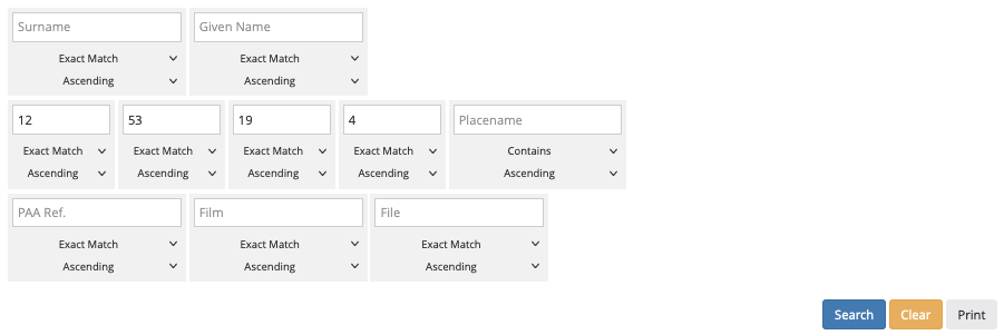
Example: For this search we will once again use the Part (NE), Section (12), Township (53), Range (19) and Meridian (W4) we found for Jay's homestead in Step 3. We enter these values, click 'Convert' to see the GPS coordinates, and then click 'Map' to see the location.
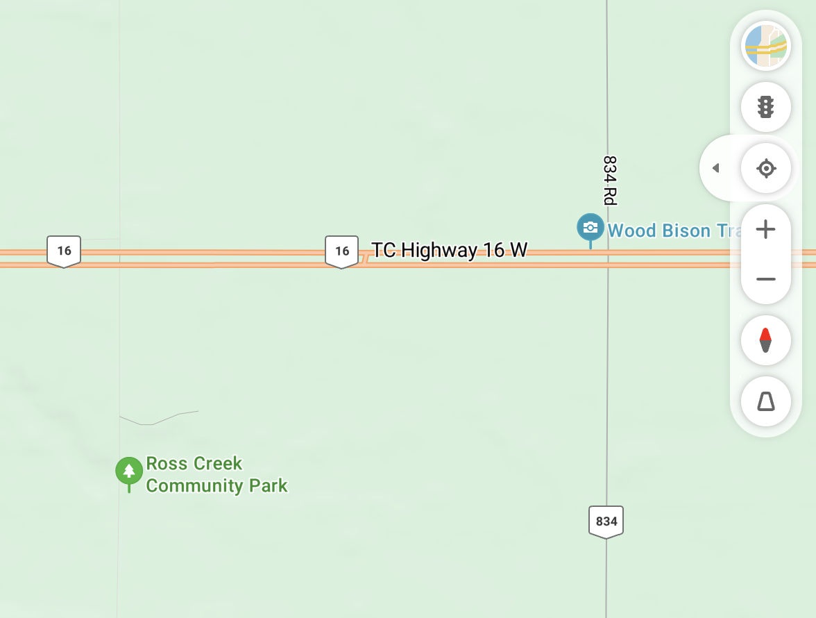
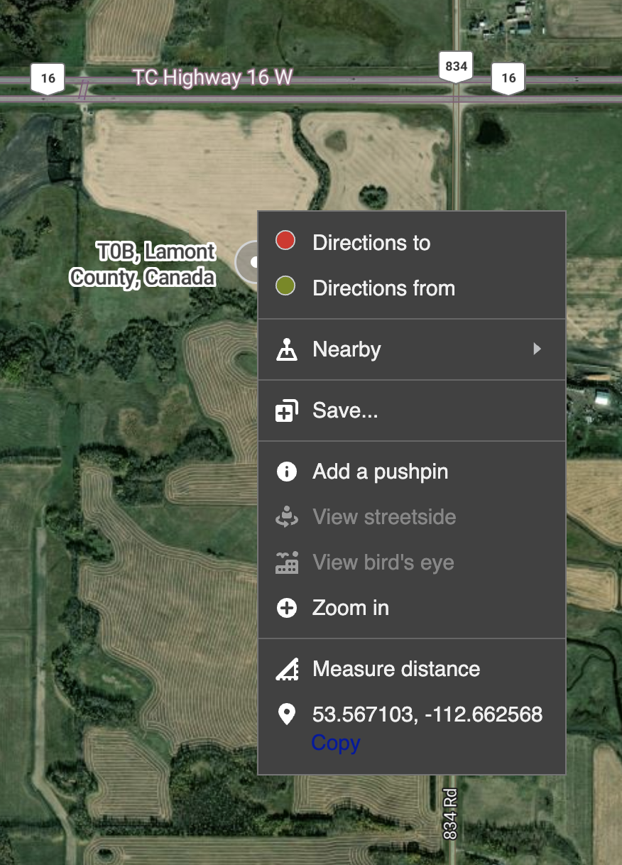
 The coordinates can also be entered into the search box of most online map sites, like Google Maps or Bing Maps.