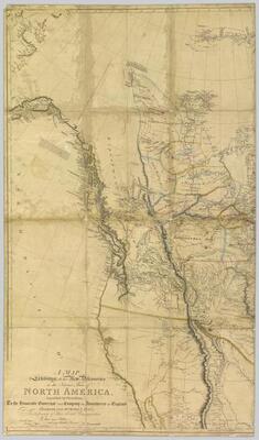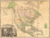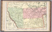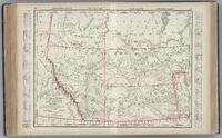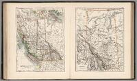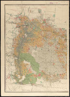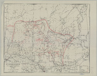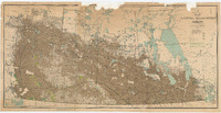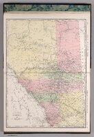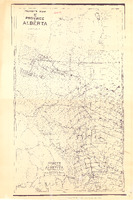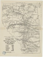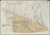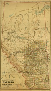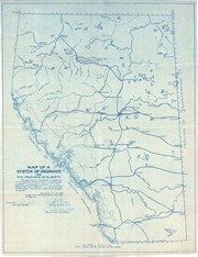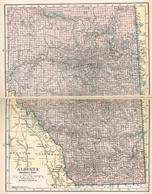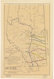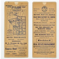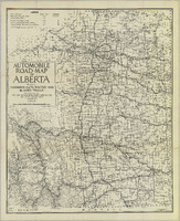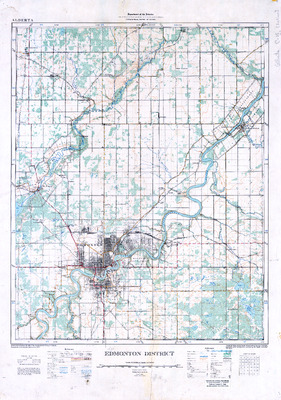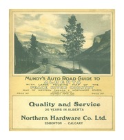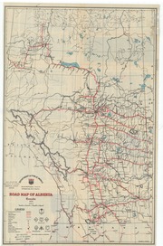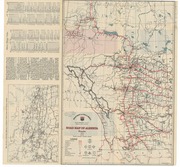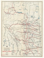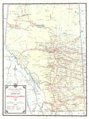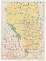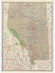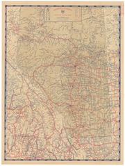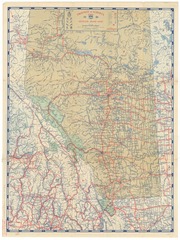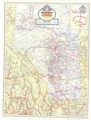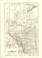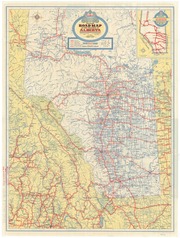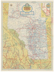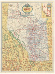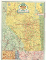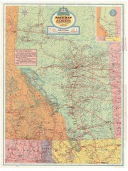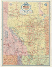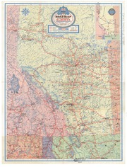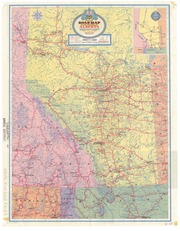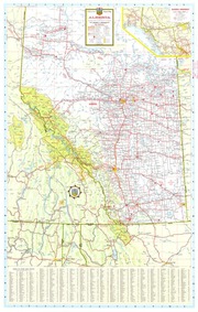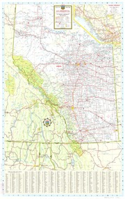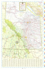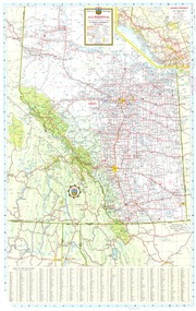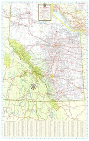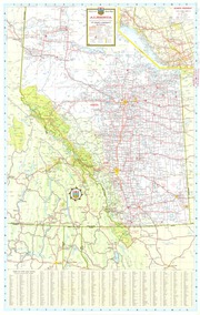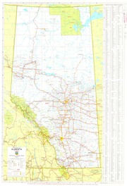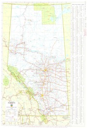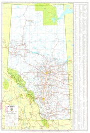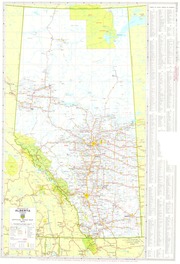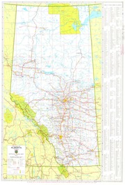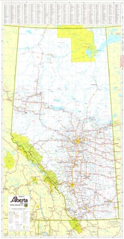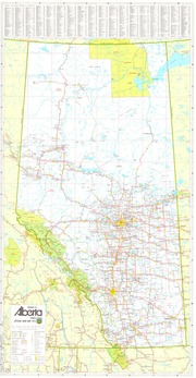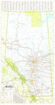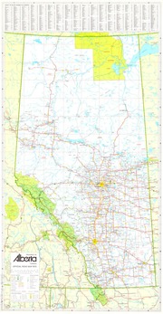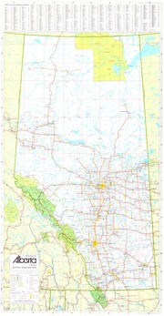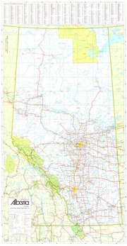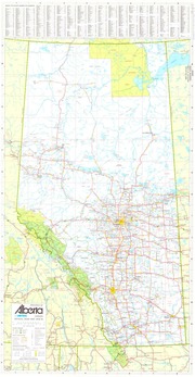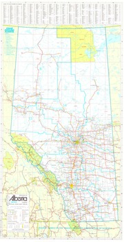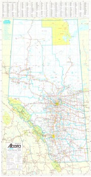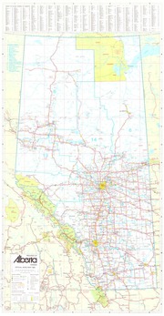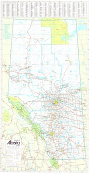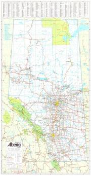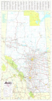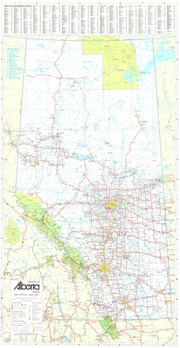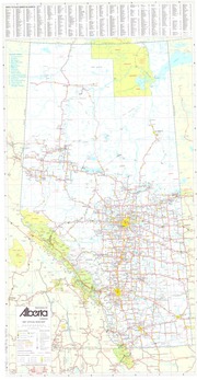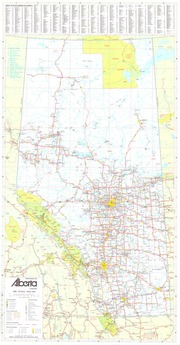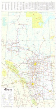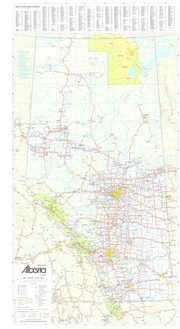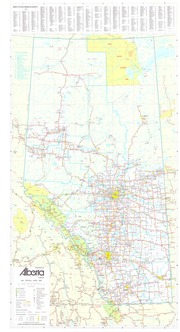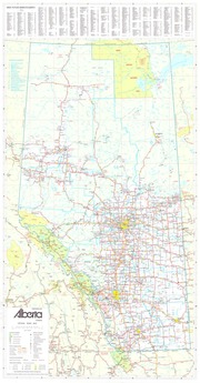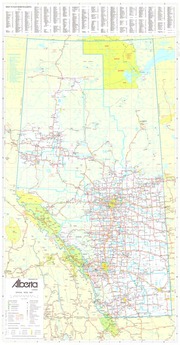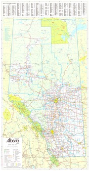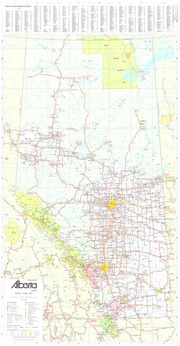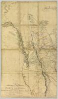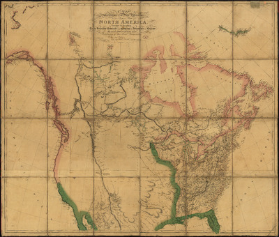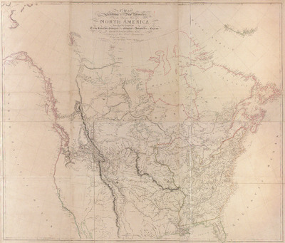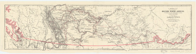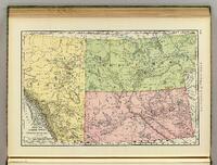
This set includes road maps, railway maps, and other early maps including what is now Alberta from the late 1700s to the late 1900s.
A collection of maps of the area that is now the province of Alberta, Canada.
It is amazing how much the area has changed in the last couple centuries.
Some of these maps now viewable in a map viewer () on this site, but some are still links to other sites () that will open in a new tab. I will complete the others as time allows.